
Stanford EE259 I GPS principle of operation, ranging codes & navigation messages I 2023 I Lecture 2
17 Jan 2024 (2 years ago)
This YouTube video provides a recap of the concepts discussed in the previous video and dives deeper into the principles of GPS. Here are the key points covered in the video:
GPS Overview
- GPS is a sensing technology that enables localization and odometry using signals from satellites.
- Localization determines the 3D position of the receiver, while odometry provides information about how the receiver is moving.
- Ranging via time of flight measurements is at the core of GPS and many other sensors.
Ranging and Localization
- Ranging is done through time of flight measurements, where a transmitter sends a signal and the receiver measures the time it takes for that signal to reach it.
- By measuring the time of flight and knowing the speed of the signal, the receiver can calculate the distance to the transmitter.
- In a 2D example with two transmitters, the location of the receiver relative to each transmitter can be determined based on the distance measurements.
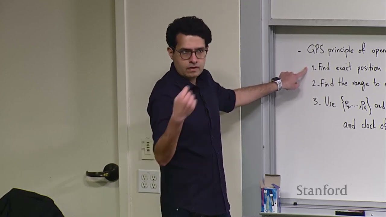
Steps for GPS Operation
- GPS requires three steps: acquisition, range measurement, and position estimation.
- Acquisition involves finding and determining the position of at least four satellites.
- Range measurement is done by calculating the time of flight of the signal from each satellite.
- Position estimation uses the positions and ranges to calculate the receiver's position.
GPS Signal Codes
- GPS signals include ranging codes and navigation signals.
- Ranging codes, such as the CA (course acquisition) code, are pseudorandom noise sequences that allow for range measurement.
- Navigation signals provide information about satellite position, time, and other data.
GPS Modernization
- GPS has undergone modernization, introducing new ranging codes and navigation signals.
- Different codes and frequencies have been added to improve accuracy, security, and availability.
- The modernization also includes enhancements such as forward error correction and improved data structures.
GPS Service Types
- The Precise Positioning Service (PPS) is military-grade GPS that uses military codes and signals.
- The Standard Positioning Service (SPS) is open to the public and uses civilian codes and signals.
- SPS accuracy is within a few meters, while PPS accuracy is similar but with additional security and robustness features.
The video sets the stage for further discussion about satellite orbits and the mathematical principles behind GPS in the next lecture.
